fbpx

STEM Studio

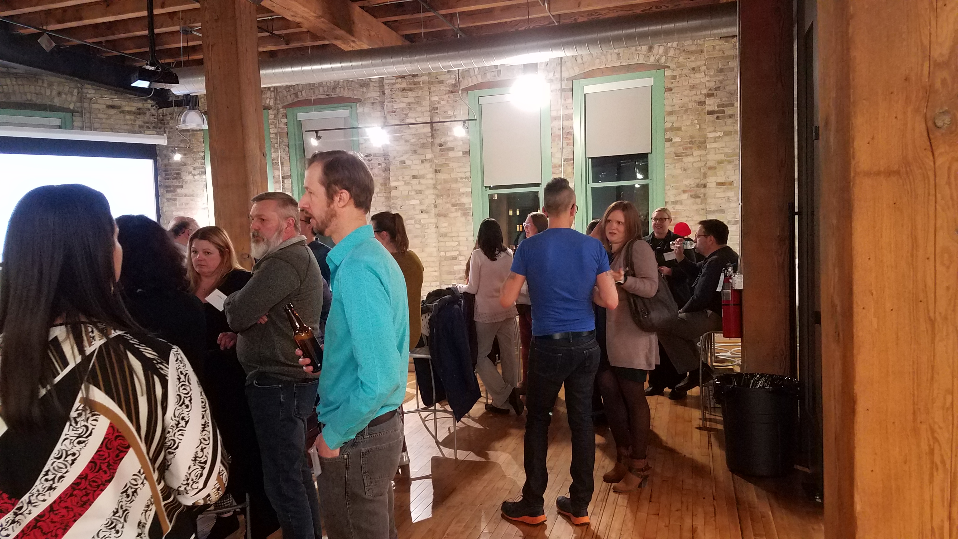
Last spring, with funding from Northwestern Mutual, we conducted interviews with teachers and mentors involved with MPS’s efforts to introduce Project GUTS, SHARP Literacy’s Design Through Code (DTC) program, TEALS, and First Robotics. The goal was to understand how we might expand opportunities to develop computational thinking outside of computer science classes, by listening to what drew teachers and mentors already engaged in that type of activity to take on the task. We provided a recap of that work here.

One of the ideas that came out of that effort was to work with teams of teachers and expertise from the broader community to create and pilot real world projects that provide solid opportunities to engage students in computational thinking. We call that the STEM Studio, and are happy to report that Northwestern Mutual has provided funding to design and pilot the first projects with MPS.

Since environmental science is a spring semester focus for MPS middle schools, we used our November Collab Lab on Green Infrastructure to generate ideas for potential projects. One of those is the Southeastern Wisconsin Watershed’s Trust’s (Sweetwater) Adopt a Storm Drain Program. As we talked about what that might look like as a STEM Studio project, Sweetwater pointed us to the Smart City Reverse RFP offered by Caravela IoT. That initiative seeks to demonstrate the potential to leverage a network of sensors that detect environmental data. Winning submissions would receive both equipment and technical support to pilot a project. We partnered with MPS, Sweetwater and Reflo to put in a joint proposal which uses STEM Studio pilot projects to both deploy sensors and expose students to the technology. We were selected as one of the winners and are happy to now have Caravela IoT engaged with us in the STEM Studio effort.

Over the next few weeks we’ll be pulling our teams of teachers together with community partners to design and pilot the experiences we want students to have as they take on the STEM Studio projects. Collab Lab attendees will know that one of our criteria for projects we get involved in is the ability to scale across schools with network effects. As part of the STEM Studio pilots, we’ll work with the teams to reflect on what worked, what didn’t, and what the next cohort of teachers will want to have in place to take on or extend the challenge in their schools.

Collab Lab 24 Recap

Maps as a Point of Engagement

The idea for session came out of conversations we had last summer with Donna Genzmer and Kate Madison faculty members at UWM.  Kate and Donna run UWM’s  Power of Data Teacher Workshops. The Power of Data (POD) Project offers a 35 hour professional development program in mid-June that helps secondary teachers enhance existing lessons with Geospatial Inquiry.  Through NSF funding the program is both free for teachers and offers a stipend to participants.  We thought it would be useful to offer teachers interested in exploring how to leverage maps/Geographic Information Systems (GIS) tools a chance to explore some ideas, and connect with resources early in the year so they might better be able to leverage the PODs training.

Milwaukee has a wealth of GIS talent at area universities, industries, and non-profits.  Our featured participants brought a broad range of expertise and practical knowledge in the use of GIS/spatial data analysis across a variety of domains.  We structured the session to allow participants to share their interests in exposing students to spatial data, explore ideas for potential projects, and solicit advice for how to make that happen.

That covered some pretty broad territory:

  • Neighborhood asset mapping
  • Macro economic data to map micro space
  • Conservation/spatial learning re Zoo animals
  • Connections to Math (social justice)
  • Viable composting sites
  • Linking environmental issues through maps
  • Past/present/future of place
  • Location of “good” landlords/housing
  • Location of bird houses
  • Parent pickup
  • Crime geography/address social justice
  • Locations for mobile maker space visits
  • Place of residence w/respect to school
  • Invasive/native plant distribution
  • Land and resource usemap
  • Suburban/urban agriculture
  • Watershed education
  • Green infrastructure
  • Food deserts
  • Location for community gardens
  • Data visualization
  • Develop GIS Apps w/IT/GIS skills
  • Freshwater connections
  • Connect people to water resources
  • Rainwater flow
  • Safety
  • Waste stream
  • Climate
  • Location of Companies


Upcoming workshops:

Milwaukee Community Map

Tuesday February 19th
4:30 to 5:30 PM
Arts@Large – 908 S. 5th Street, Milwaukee
details 

PODS Workshops

UWM POD Workshop #1
June 3 — 7, 2019, UWM Library

UWM POD Workshop #2
June 17 — 21, 2019, UWM Library

details


Thanks again to The Commons for providing the space and to Marvin and our featured participants for the experience and insight they brought to the discussion:

Emily Champagne – GIS Supervisor, Milwaukee Metropolitan Sewerage District (MMSD)
Donna Genzmer, GISP – Director, Cartography & GIS Center, University of Wisconsin-Milwaukee
Auriana Gilliland-Lloyd – Conservation Assistant, Bonobo & Congo Biodiversity Initiative, Zoological Society of Milwaukee
Lawrence Hoffman – GIS Program Manager, Groundwork Milwaukee
Beth Haskovec – Program Officer, LISC Milwaukee
Kate Madison – Policy Analyst, UWM’s Center for Economic Development
Dr. Aleksandra Snowden Ph.D. – Assistant Professor Social & Cultural Sciences, Marquette University
Michael Timm – Reflo/Milwaukee Community Map

2023-24 Collab Labs

Skip to content
Verified by MonsterInsights